Editor’s note: the following press release has been submitted by the City of Fort Atkinson.
The Fort Atkinson City Council could take action Oct. 19 on the city’s updated ward map after the 2020 Census.
Every 10 years the U.S. Census Bureau conducts its decennial census. Census results are used to reapportion seats in the House of Representatives, to realign Congressional districts and as a factor in the formulas that distribute hundreds of billions of dollars in federal funds each year.
For the City of Fort Atkinson, which uses a council/manager form of government, with the city council serving as the community’s legislative and policymaking board, there will be little change to voting districts. The five city council members are elected at large and serve the community collectively, representing all 10 current voting wards. Some minor changes to the ward maps more evenly distributed the number of electors per ward, while remaining within the boundaries of the proposed county supervisory districts.
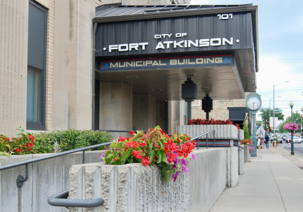
All electors in the city of Fort Atkinson vote at the Fort Atkinson Municipal Building, so any changes to ward numbers will not impact voting location. The city also utilizes electronic poll books on Election Day, which eliminates the need for voters to stand in specific lines to vote in specific wards. All wards within the city are within the same school district, State Assembly District (33), State Senate District (11) and U.S. Congressional District (5).
On Sept. 7, the Executive Committee of Jefferson County met to review and discuss the draft Tentative Supervisory District Plan. A draft plan was developed based on the 2020 census data, local municipalities’ current wards and municipal boundaries. The county tried to maintain the current wards and limit the division of wards by county supervisory districts, however there are some cases where supervisory districts intersect current ward boundaries. On Sept. 14, county officials approved a Tentative Supervisory District Plan to allow local municipalities the chance to make changes to the ward boundaries. Fort Atkinson officials met with Jefferson County redistricting officials to review the draft map on Sept. 30 with the council reviewing the draft map Oct. 5. The council did not recommend any changes to the proposed ward map on Oct. 5 and may take action to approve the ward map on Oct. 19.
Those wishing to learn more or provide input can contact Clerk/Treasurer/Finance Director Michelle Ebbert at miebbert@fortatkinsonwi.net or attend the city council meeting on Oct. 19 at 7 p.m. in person or via Zoom.
An interactive map showing tentative wards is here: https://wisedecade.legis.wisconsin.gov/WISELR_Viewer.aspx?shareID=14ELZ90Q9PO7U7X0.

This post has already been read 1197 times!
