As of Aug. 2, the National Weather Service in Milwaukee/Sullivan has reported at least 12 tornado touchdowns associated with a line of severe thunderstorms that worked its way across southern Wisconsin on Thursday, July 29.
According to a tornado survey performed by the National Weather Service, the following data was collected:
• Southwest of Watertown, at approximately 1:05 a.m., an EF-0 touchdown occurred, producing winds of up to 80 miles per hour, and leaving a path on the ground that was just over 3 miles long and up to 100 yards wide.
• Near Farmington, at 1:10 a.m., an EF-0 touchdown occurred, producing winds up to 75 miles per hour and leaving a path on the ground that was a mile long and up to 25 yards wide.
• Between Concord and Dousman, between 1:05 and 1:20 a.m., an EF-1 tornado, producing winds up to 105 miles per hour, and leaving a path on the ground of just over 12.5 miles long and up to 200 yards wide, was reported.
• School Section Lake Road, located south of Dousman, received an EF-1 touchdown at 1:19 a.m., with winds up to 100 miles per hour and a path on the ground of just over 2 miles long and up to 150 yards wide.
• In Eastern Wales/town of Genesee, around 1:30 a.m., an EF-0 tornado was reported. The event produced winds up to 85 miles per hour and left a nearly 3-mile-long path on the ground which was up to 50 yards wide.
• Western Waukesha/town of Genesee was the site of an EF-1 tornado at 1:40 a.m., with winds of up to 95 miles per hour, and a path on the ground of nearly 1 mile long and up to 50 yards wide.
Further from home, Cross Plains was the site of an EF-0 touchdown around 12:39 a.m. The tornado left a half-mile long path on the ground that was up to 25 yards wide; another touchdown southeast of Cross Plains occurred at 12:41, leaving a two-and-a-half mile long path on the ground that was up to 50 yards wide; south of Middleton, at 12:44 a.m., and EF-1 tornado left a path on the ground of just over 2 miles long and up to 50 yards wide, and north of Verona, at 12:47 a.m. an EF-1 tornado was on the ground for nearly three-and-a-half miles, leaving a path up to 50 yards wide.
Also, an EF-1 tornado touched down south of Portage at 12:10 a.m. With winds up to 105 miles per hour, the tornado traveled on the ground for just over two miles with a path width of up to 100 yards, and at 12:41 a.m., an EF-0 tornado touched down northwest of Columbus. The storm packed 75-mile-per-hour winds and left a path on the ground nearly a half-mile long and up to 25 yards wide.
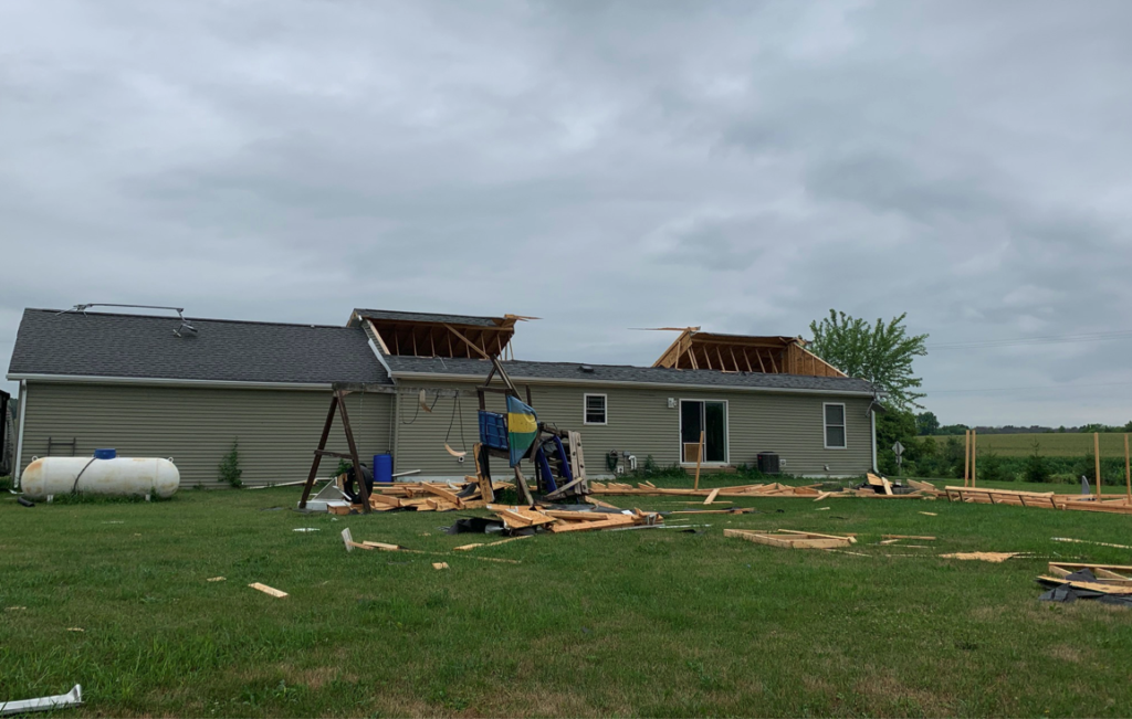
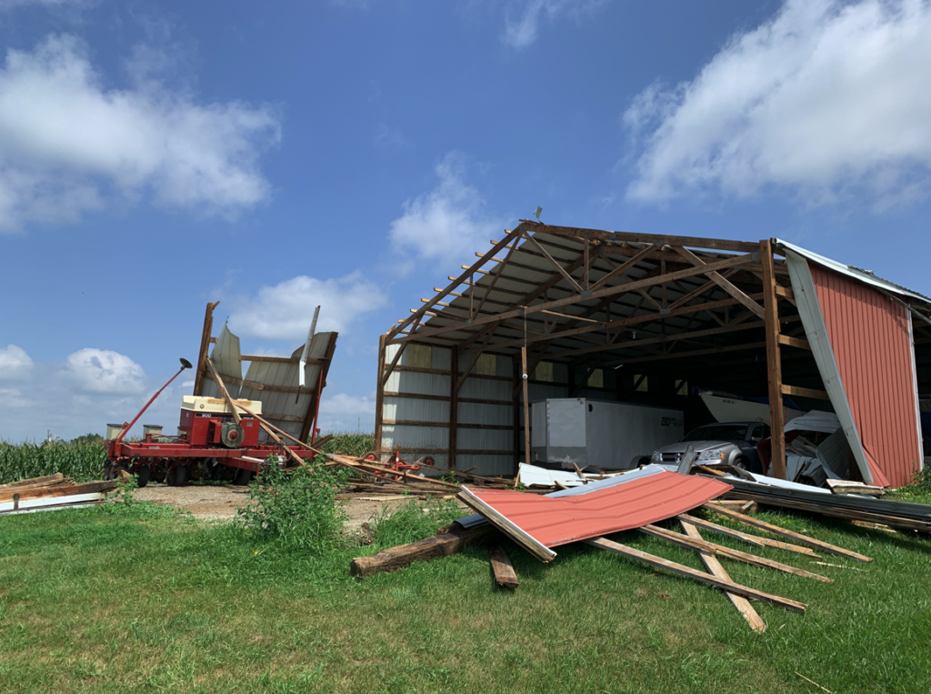
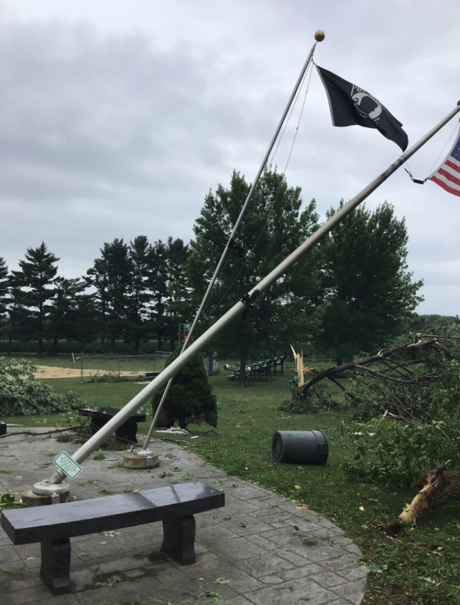
No deaths or injuries were reported with Thursday’s storms. Damage reported by the National Weather Service was largely to trees, crops, and some structures.
The full report from the National Weather Service is here: https://www.weather.gov/mkx/ThunderstormsCausedDamagingWindsLateWedEveningJuly282021.